Photos of Google Earth is a project I began in the spring of 2020, during the onset of the COVID-19 pandemic. Quarantined in my home, I sought a way to see the world. Using Google Earth, my iPhone, a computer, the Polaroid Lab printer, and both black and white and color Polaroid film, I have produced photographic images of a world that is both real and virtual. Some of these images are strikingly similar to photographs taken at the actual sites
These pieces are intended to function on several levels—as images of beauty produced with humble means, as a comment on the insufficiency of technology to replace what we experience in the real world, and as a critique of our society and culture, and the treatment of the natural environment.
Landscapes
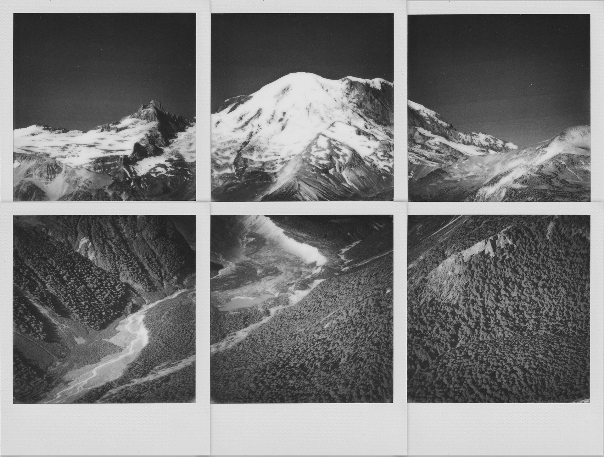
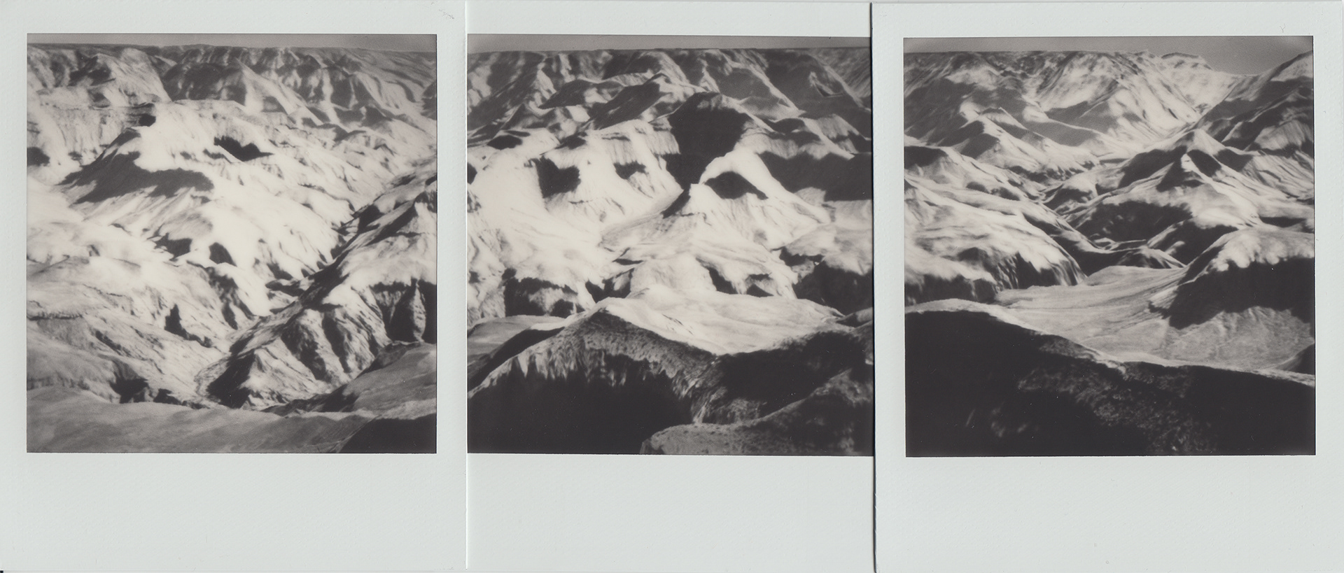
After Ansel, Mt. Rainier, 10" x 7.5"
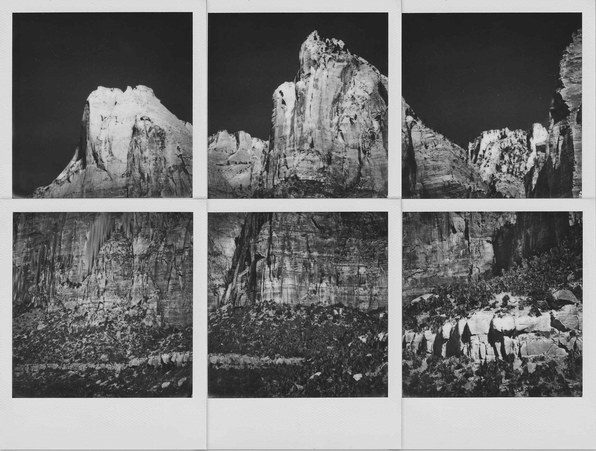
After Ansel, Court of the Patriarchs, 10" x 7.5"
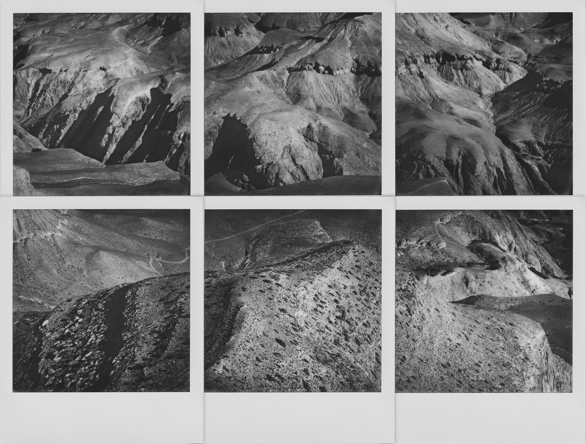
After Ansel, Yavapai Point, 10" x 7.5"
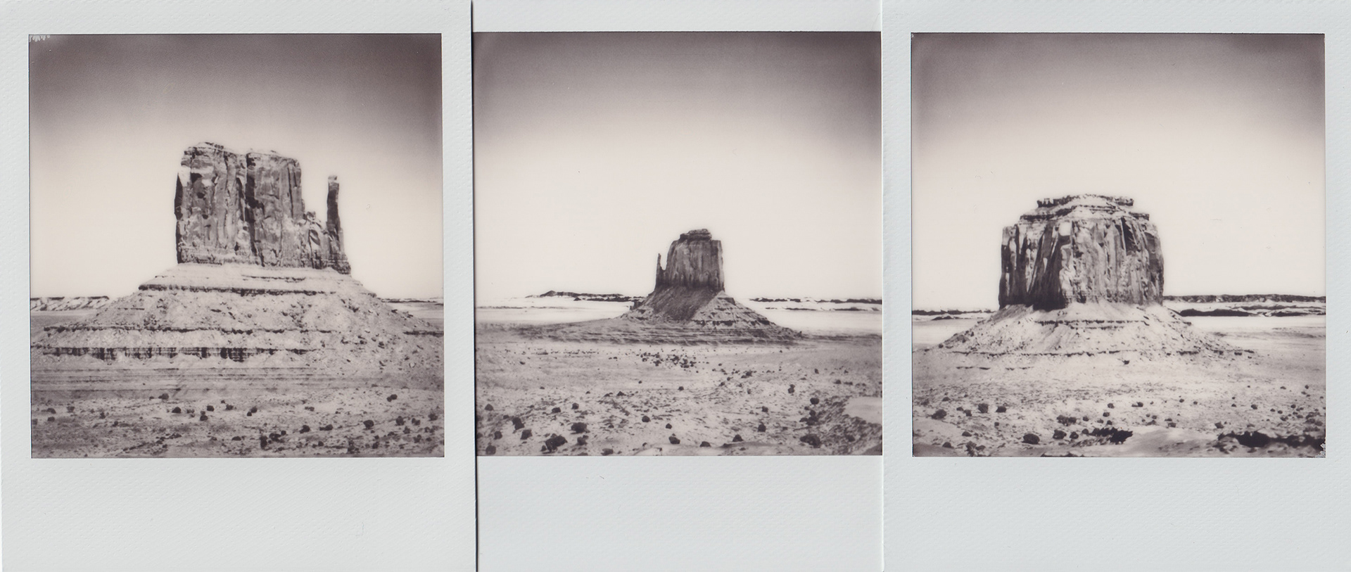
Monument Valley, 10" x 4.25"
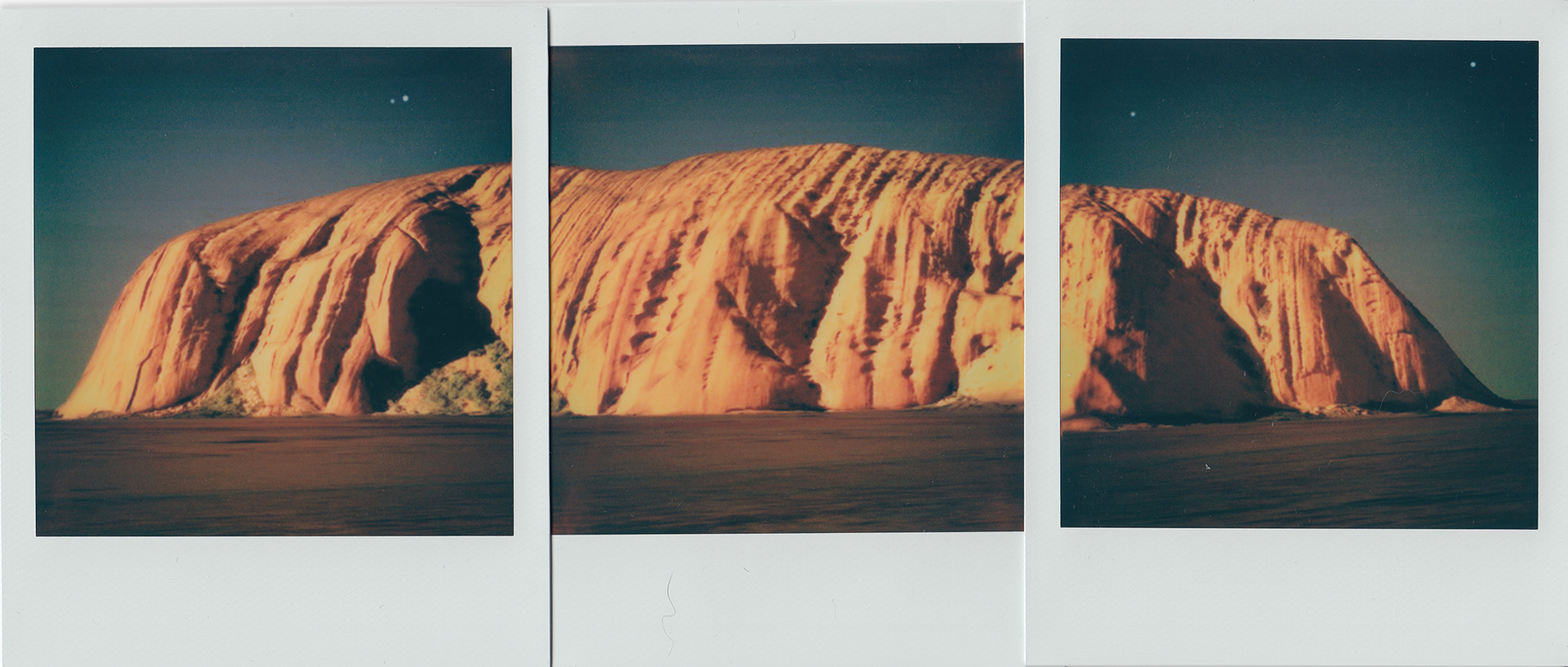
Not Ayers Rock, 10" x 4.25"
Grand Canyon, 10" x 4.25"

Niagara (USA and Canada), 7.5" x 4.25"
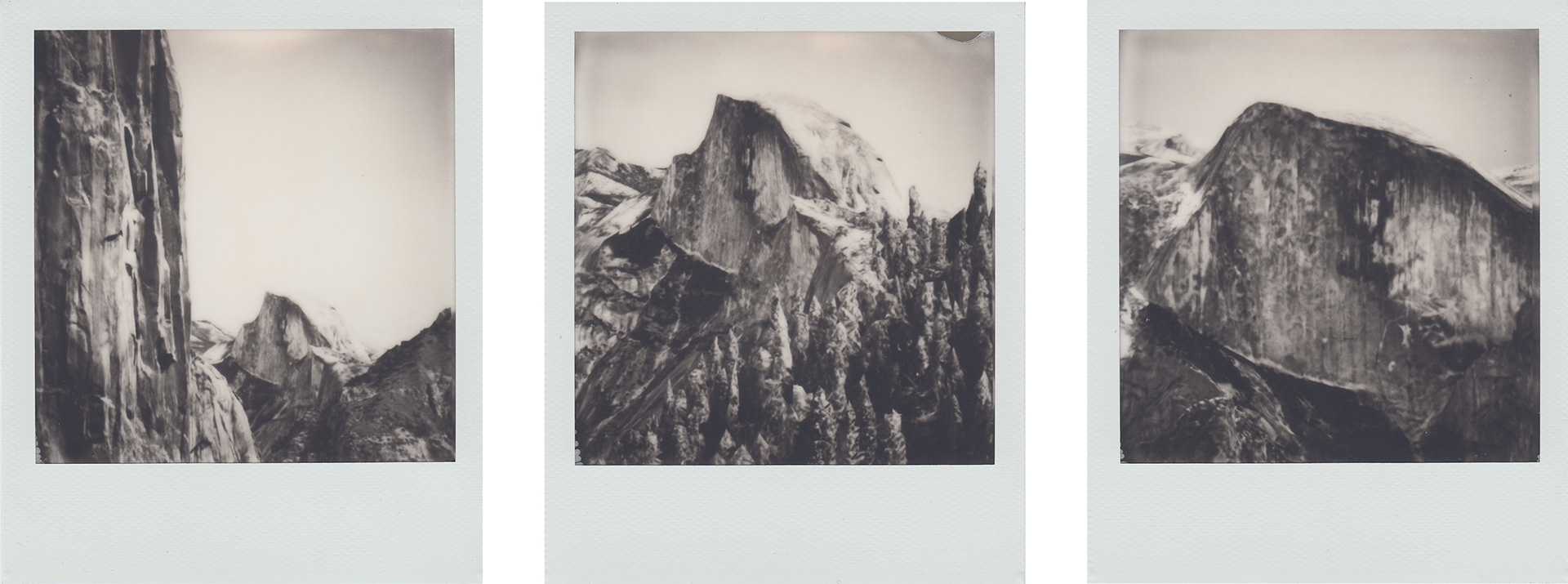
Half Dome 3x, 11.25" x 4.25"
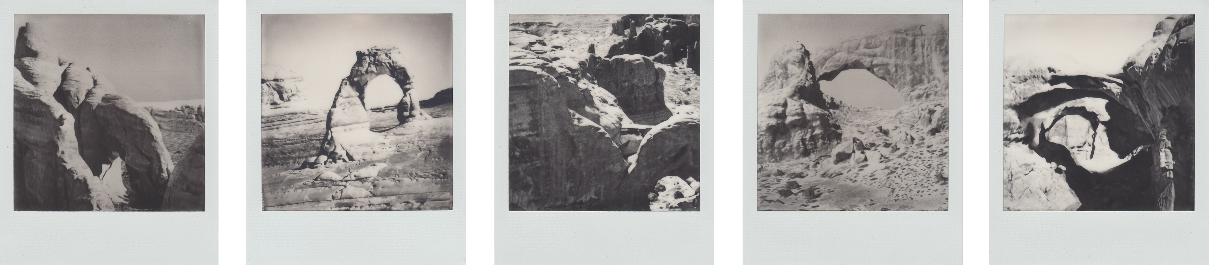
Arches, 20" x 4.25"
Buildings
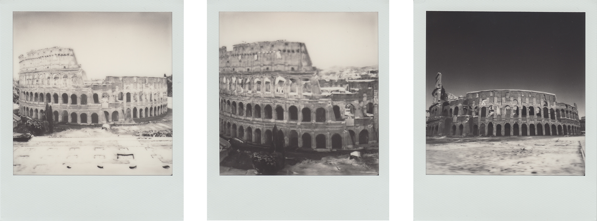
Colosseum 3x, 11.25" x 4.25"

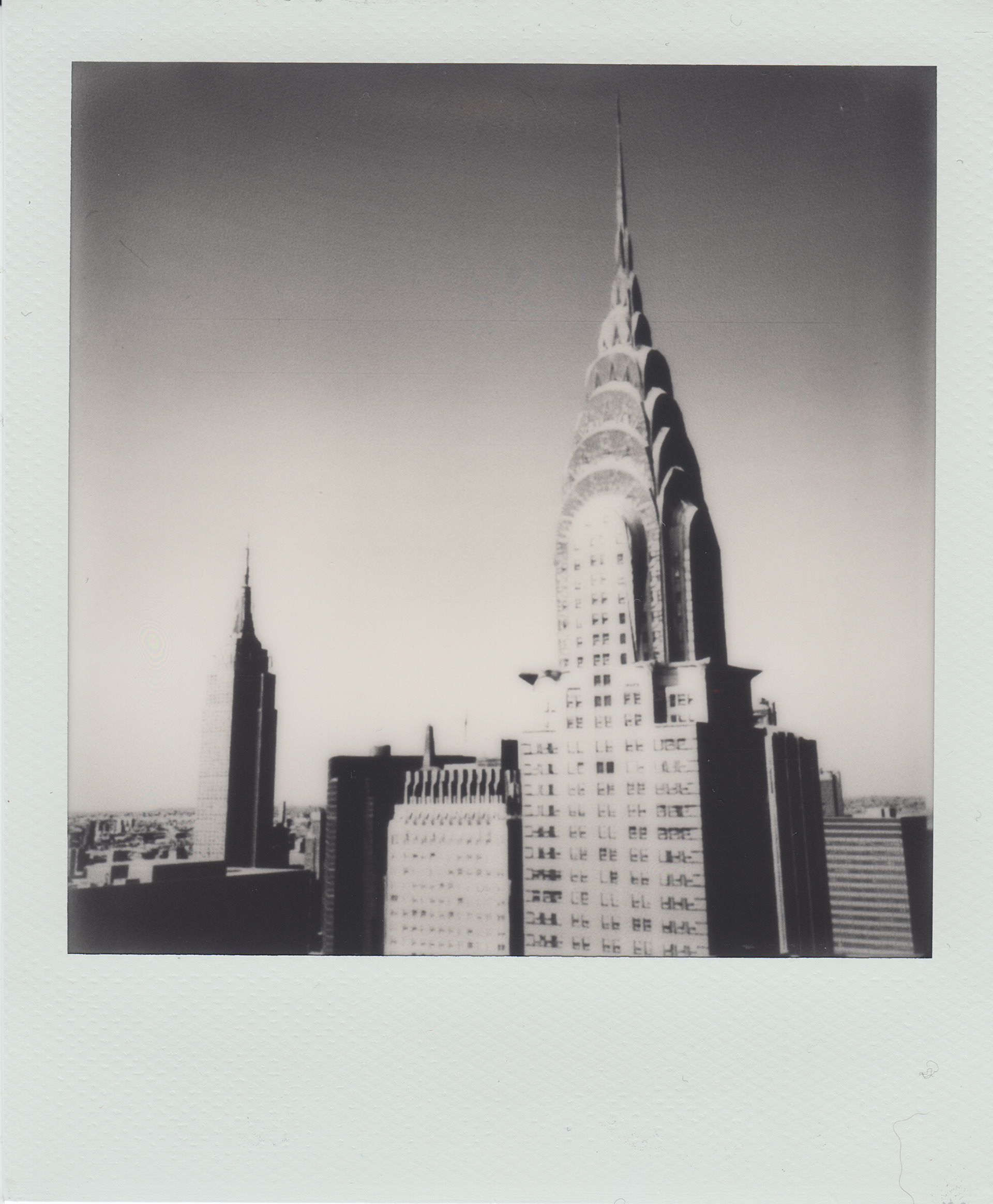
Flatiron 4x, 15.25" x 4.25"

Brooklyn Bridge, 10" x 7.5"
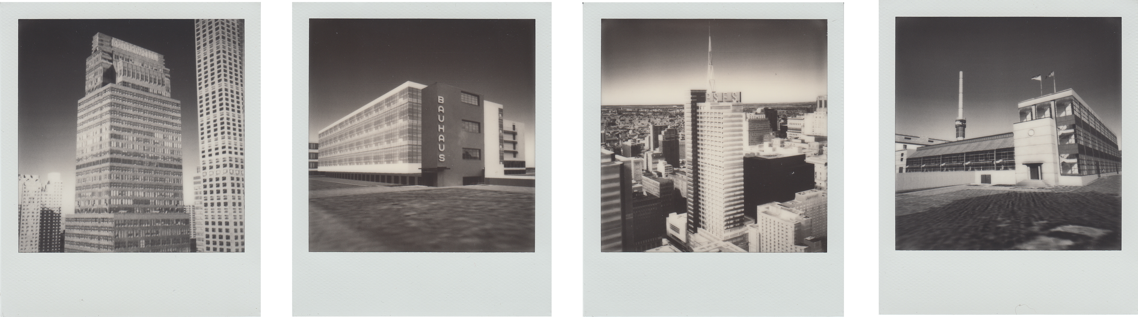
International Style, 15.25" x 4.25"
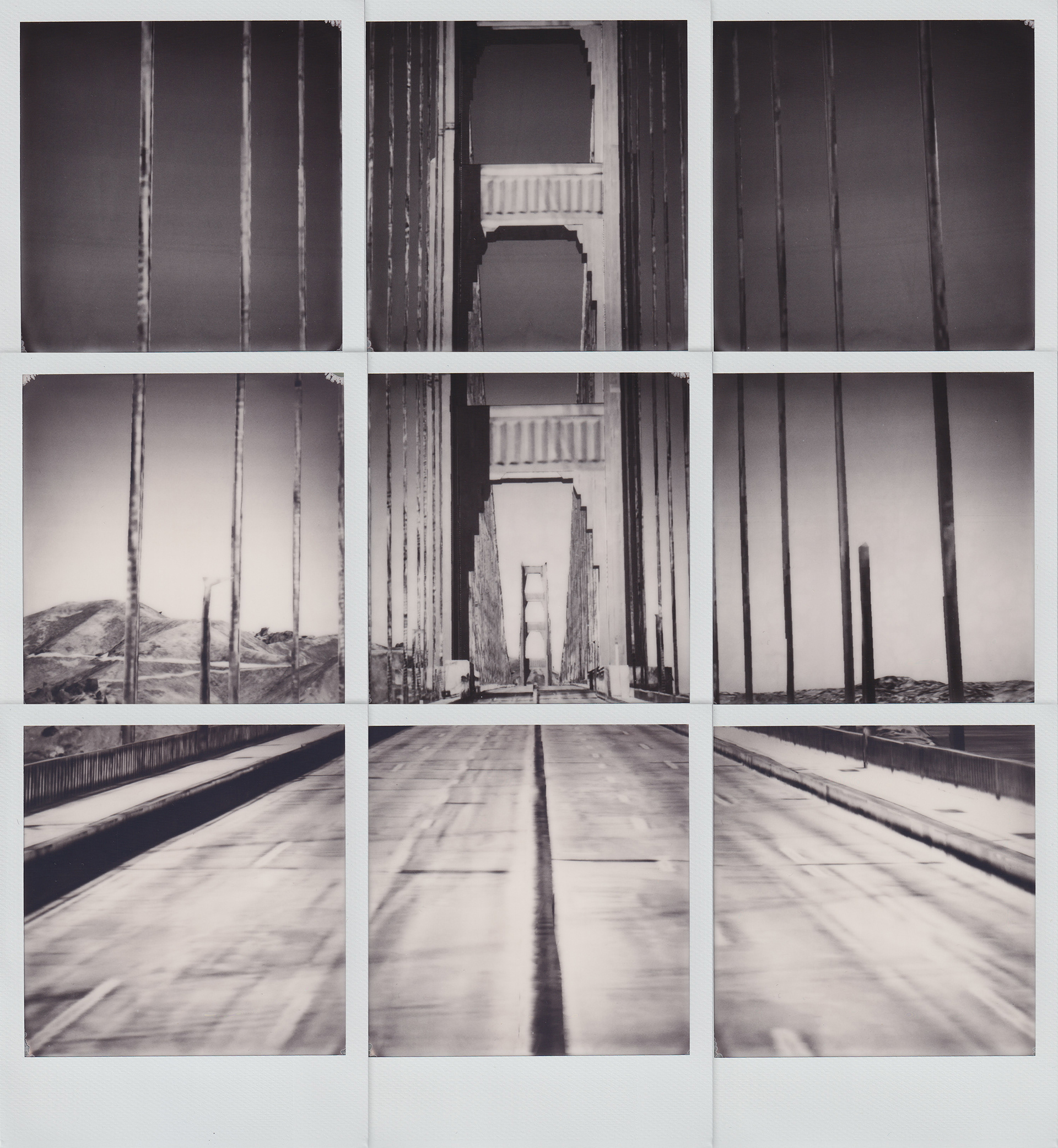
Golden Gate (empty), 10" x 11"
Sisters, 3.5" x 4.25"
2020 Politics

White House (dark), 10" x 4.25"
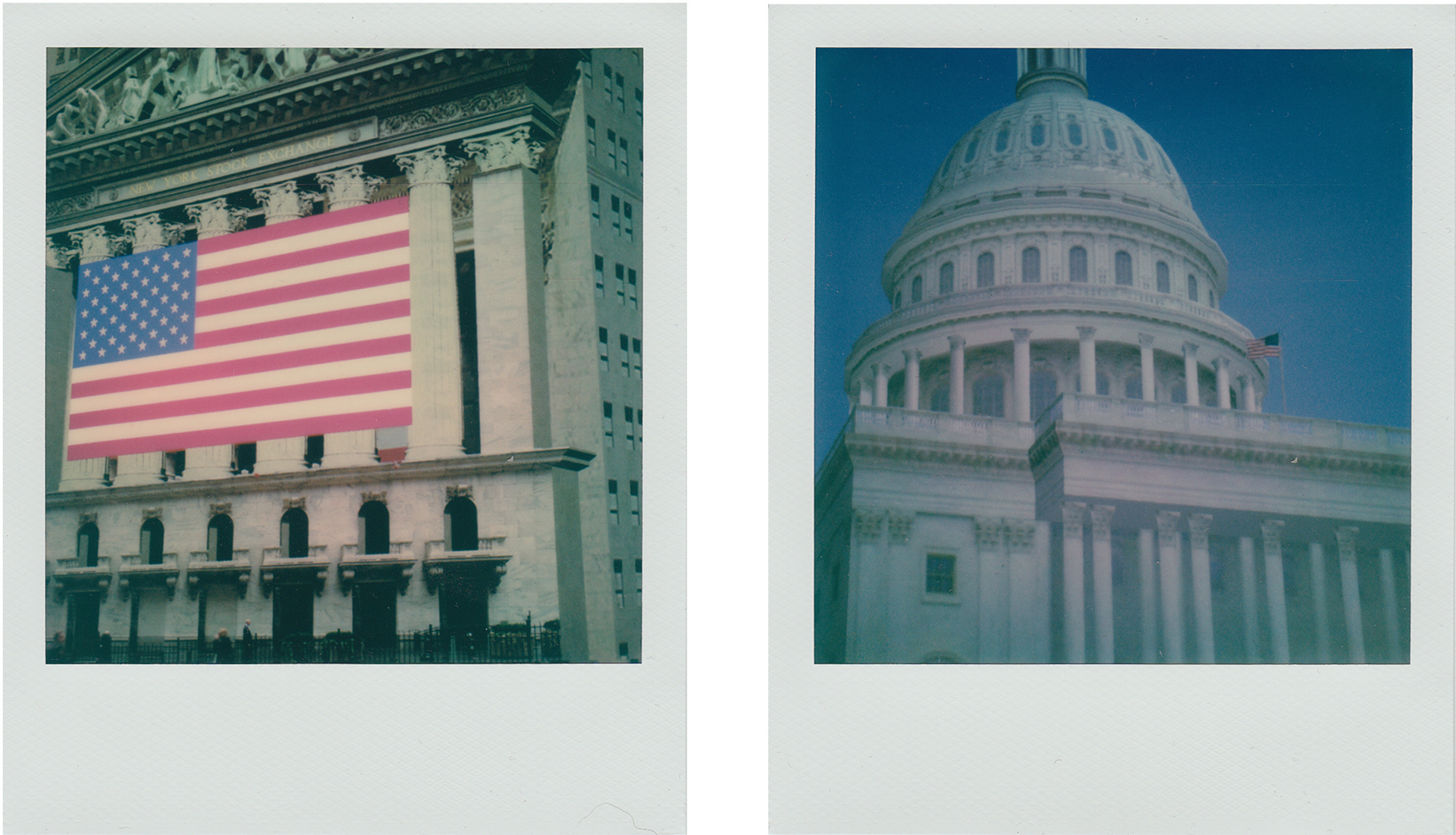
Capital/Capitol, 7.5" x 4.25"
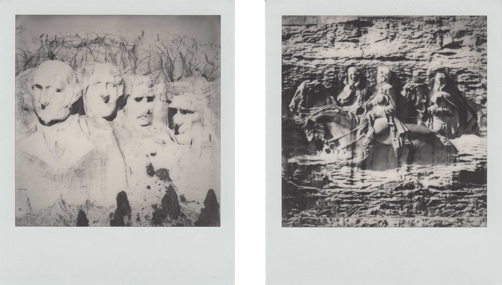
America (Washington, Jefferson, Roosevelt, Lincoln, Davis, Lee, Jackson), 7.5" x 4.25"
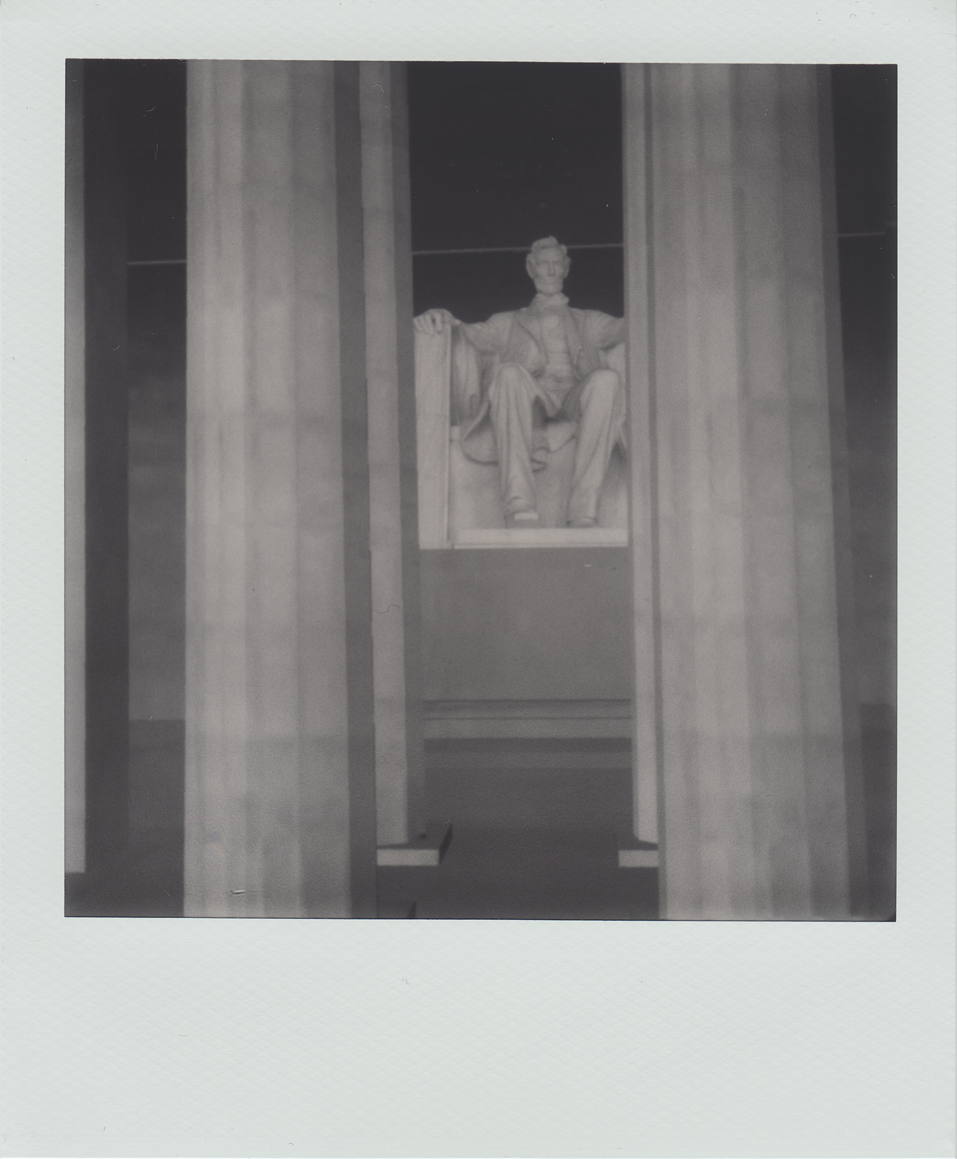
Not Lincoln, 3.5" x 4.25"
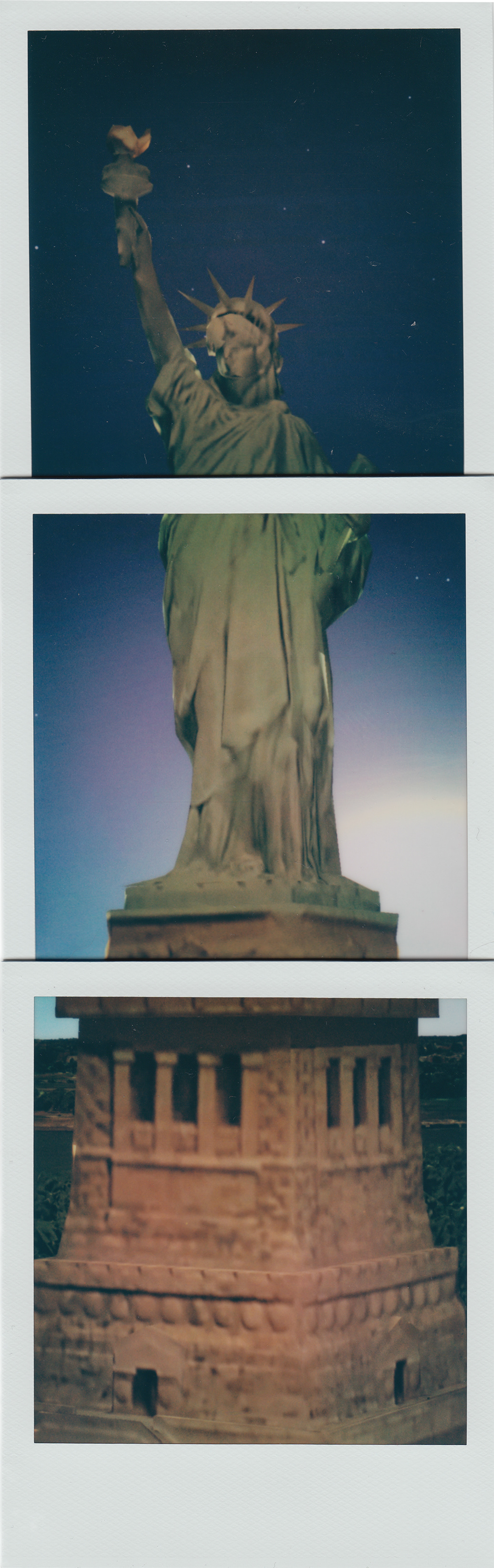
Liberty at Sunset, 3.5" x 11"